HIGHLIGHTS
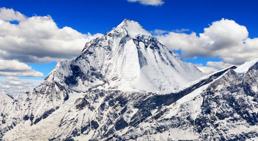
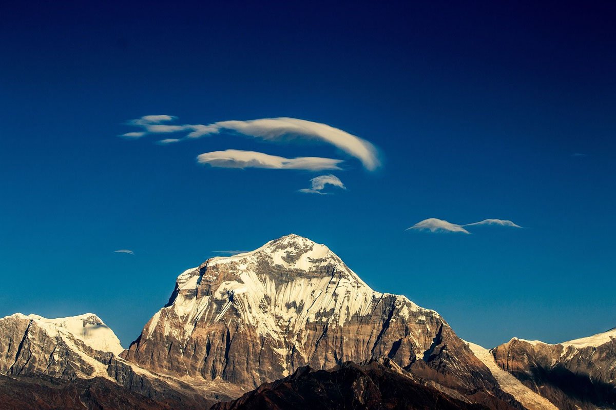
- Dhaulagiri is reflected as one of the most fascinating peaks to climb.
- This mountain lies in the northwestern corridor of Nepal in Myagdi District.
- Mt. Dhaulagiri is extends about 120km from Kaligandaki River to the Bheri river in the west.
At a glance

Overview
The Dhaulagiri Circuit trek is challenging, and a real adventure for experienced trekkers who are looking for an expedition-like experience. From farming villages in the Himalayan foothills to high alpine pastures, uninhabited valleys and close-up views of several peaks over 8,000 m, this circuit trek is breathtaking and exciting at every stage. Starting in Beni (a 2-3 hour drive from Pokhara), the Dhaulagiri Circuit trek is a rugged, high-altitude camping trek in one of the lesser-visited areas of the Annapurna Himalayas. The first few days follow the Myagdi Khola River to the Chhonbardan Glacier, at the foot of Dhaulagiri. The landscape changes from tended farmland to barren, often snow-covered rocky mountains, all with views of Dhaulagiri and other Himalayan giants ahead. As you get higher, the predominantly Magar villages thin out, until the last few days are spent trekking in areas with no permanent settlements.
The Mountain first time scaled by Mr. Ernest. Forrer and his team K. Diemberger, P. Diener, A. Schelbert from Switzerland in May 13, 1960 via North East Ridge. A French team was permitted to climb either Annapurna or Dhaulagiri in 1950 but decided to climb Annapurna after a reconnaissance of Dhaulagiri. A Swiss team tried to climb Dhaulagiri in 1953 but failed to reach the summit.
The Mountain first time scaled by Mr. Ernest. Forrer and his team K. Diemberger, P. Diener, A. Schelbert from Switzerland in May 13, 1960 via North East Ridge. A French team was permitted to climb either Annapurna or Dhaulagiri in 1950 but decided to climb Annapurna after a reconnaissance of Dhaulagiri. A Swiss team tried to climb Dhaulagiri in 1953 but failed to reach the summit.
Itinerary
Day 01: Transfer to hotel and relax
Day 02: Tour of Pashpatinath, Bhouda Stupa, Swyamboudh Stupa and Kathmandu Durbar Square
Day 03: Drive to Beni
Day 04: Trek Beni to Babichaur (1,565m/5,135ft) (6-7hrs)
Day 05: Babichaur to Dharapani (1,565m/5,135ft) (6-7hrs)
Day 06: Dharapani to Muri (1,850m/6,070ft) (6-7hrs)
Day 07: Muri to Boghara (2,630m/8,629ft) (7-8hrs)
Day 08: Boghara to Dhoban (2,630m/8,629ft) (6-7hrs)
Day 09: Dhoban to Italian Base Camp (3,500m/11,483ft) (6-7hrs)
Day 10: Rest and acclimatization day
Day 11: Italian Base Camp to Glacier Camp (4,250m/13,944ft) (5hrs)
Day 12: Dhaulagiri Base Camp (4,650m/15,256ft) (4hrs)
Day 13: Acclimatization day
Day 14: Dhaulagiri Base Camp to French Col (4hrs)
Day 15: French Col to Hidden Valley Camp (5,000m/16,404ft)
Day 16: Hidden Valley Camp to Yak Kharka (4,200m/13,780ft) (6hrs)
Day 17: Yak Kharka to Jomsom (2,715m/8,907ft) (7-8hrs)
Day 18: Jomsom to Tatopani by jeep
Day 19: Tatopani to Pokhara by road
Day 20: Pokhara to Kathmandu by road
Day 21: Transfer to Tribhuvan airport for onward journey
Gallery

Book this tour
| Dates | Price | Single Sup | Status | Book/Enquire |
|---|---|---|---|---|
| - | On Request | Available | Any Date | Book Now |